Our Services
Home > Services
OUR SERVICES
Services We Provided
Lorem ipsum dolor sit amet, consectetur adipiscing elit, sed. Lorem ipsum dolor sit amet, consectetur adipiscing elit, sed.
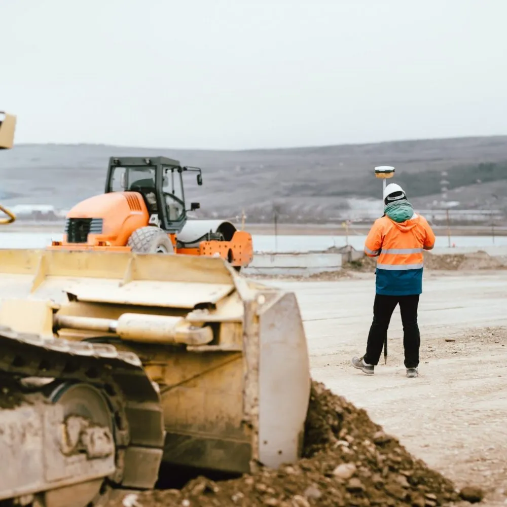
Boundary Surveys
Establishes and marks property boundaries to prevent disputes and ensure clarity.

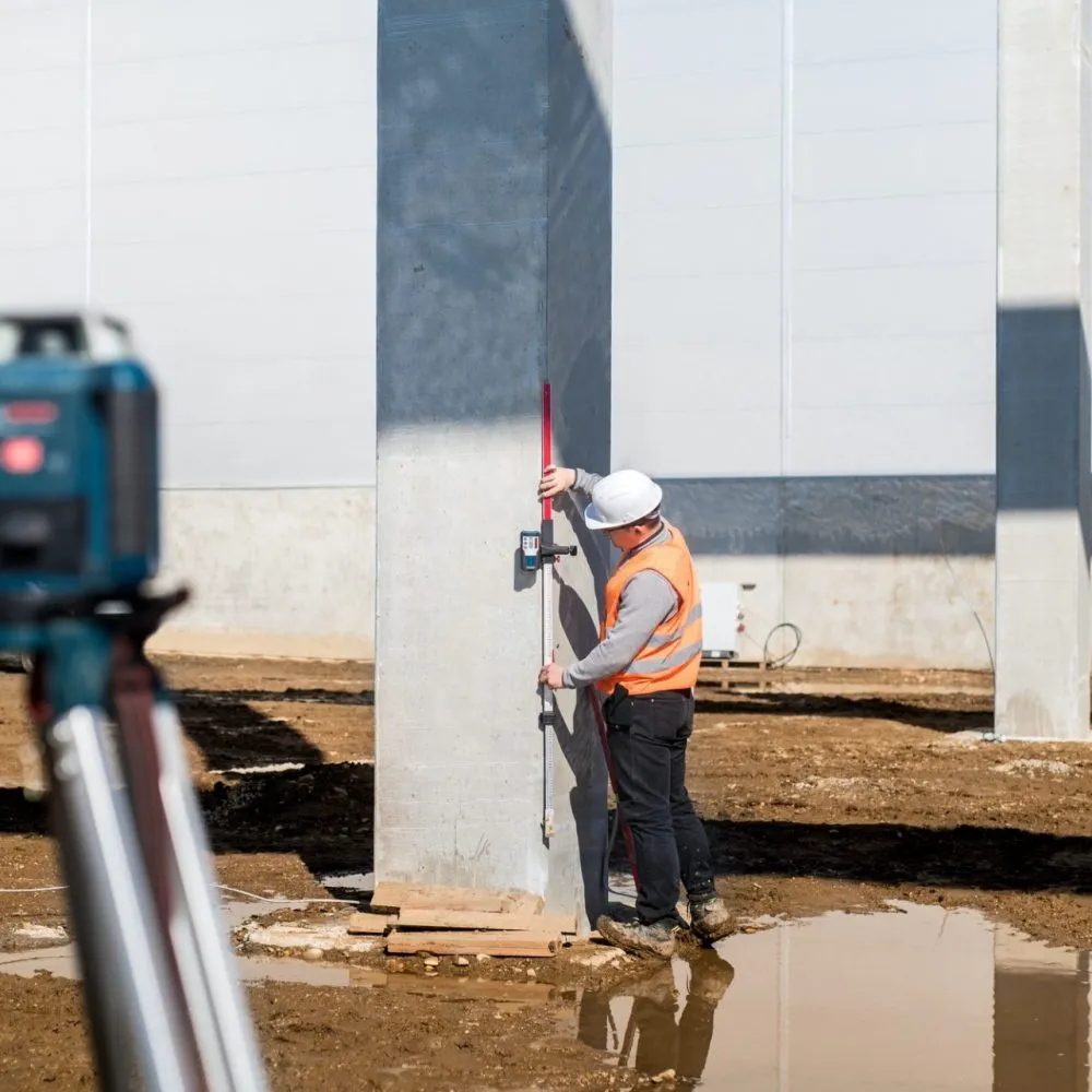
Topographic Surveys
Maps the land’s elevation, contours, and features, essential for construction and infrastructure planning.
Relocation Survey
Confirms property boundaries based on official records, often requested to resolve encroachments or disputes.

Subdivision Survey
Divides large properties into smaller lots for real estate development, adhering to local regulations.

Cadastral Survey
Maps all land parcels within an area for government record-keeping, taxation, and legal documentation.
As-Built Survey
Verifies that completed structures align with original design plans, local building codes, and safety standards for compliance.
OUR PROCESS
Four Steps to Get Our Services
Lorem ipsum dolor sit amet, consectetur adipiscing elit, sed. Lorem ipsum dolor sit amet, consectetur adipiscing elit, sed.
Make Appointment
Lorem ipsum dolor sit amet, consectetur adipiscing elit. Ut elit tellus, luctus nec ullamcorper mattis.
We Check The Location
Lorem ipsum dolor sit amet, consectetur adipiscing elit. Ut elit tellus, luctus nec ullamcorper mattis.
Start Land Survey
Lorem ipsum dolor sit amet, consectetur adipiscing elit. Ut elit tellus, luctus nec ullamcorper mattis.
Survey Completed
Lorem ipsum dolor sit amet, consectetur adipiscing elit. Ut elit tellus, luctus nec ullamcorper mattis.
OUR FAQs
Frequently Asked Questions
Lorem ipsum dolor sit amet, consectetur adipiscing elit, sed. Lorem ipsum dolor sit amet, consectetur adipiscing elit, sed.
Land surveying is the process of measuring and mapping the boundaries, features, and topography of a piece of land. It provides accurate information for property boundaries, construction projects, and land development. This ensures that land use and property divisions are clear and legally compliant.
The time required depends on factors like property size, type of survey, and terrain. Most surveys can be completed within a few days to a couple of weeks.
We provide a variety of surveys, including boundary surveys, topographic surveys, construction staking, ALTA/NSPS land title surveys, and subdivision surveys.
You should consider a land survey when buying or selling property, before construction projects, or if there is a boundary dispute with neighbors.
The cost of a land survey varies based on the size of the property, the type of survey needed, and the complexity of the job. Contact us for a personalized quote.
A land survey helps determine property boundaries, prevent legal disputes, and ensure that structures are built in the correct locations. It's essential for buying, selling, or building on land. Additionally, it provides property owners with peace of mind by clarifying land ownership and usage rights.
A boundary survey identifies the exact boundaries of a property. It’s used to determine property lines and prevent disputes with neighboring properties.
It’s helpful to provide any prior survey records, property deeds, or maps you have. We’ll handle the rest of the research and preparation.
Yes, boundary markers are placed on the property corners as part of a boundary survey. These markers serve as a reference for property lines.
Yes, it’s often recommended to have a boundary survey before installing fences, walls, or any landscaping that may affect property lines to avoid encroachment issues.